|

Survey:GPS and GIS:Maps, Mapping Utilities and Source Locations:NGS Control:Other Publications of Interest: |  | |
|
||
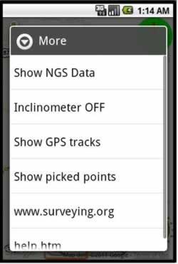
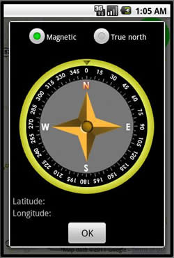
SurveyPro -- Whats new...
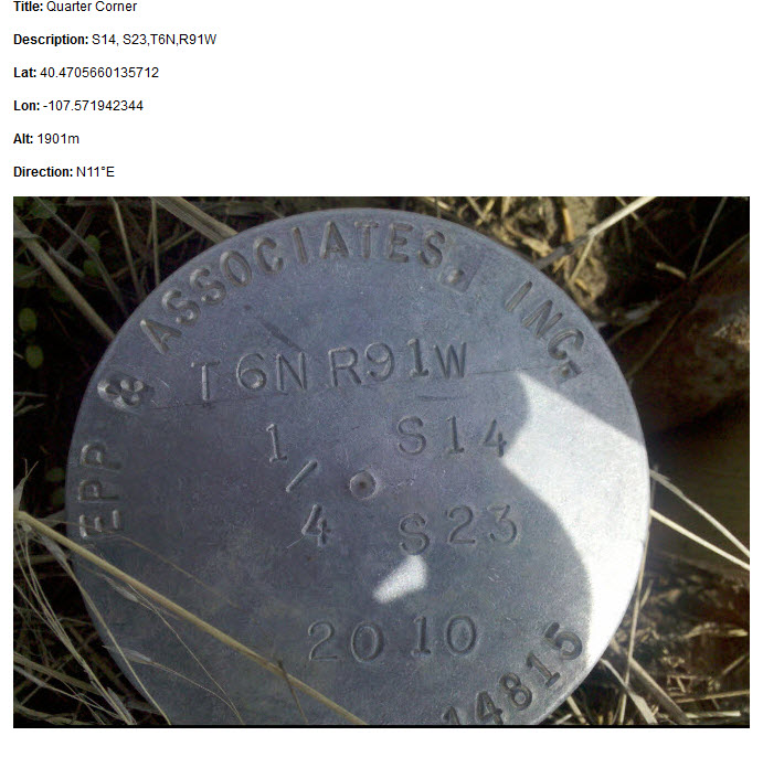
Geo-Tagged photos:
Take and share Google Earth formatted KMZ photos via email. These geo-referenced photos show latitude/longitude, height and direction of the photo. Very simple to use and powerful tool for the professional.
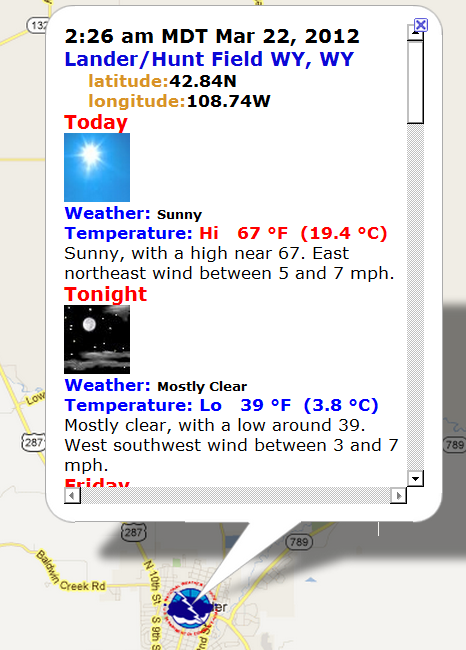
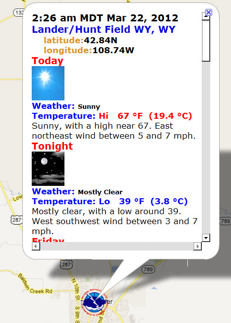
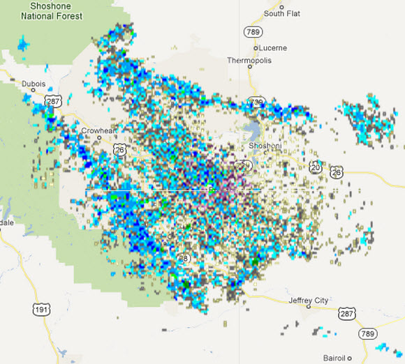
Weather Forecast: Weather Radar:
  |
 |
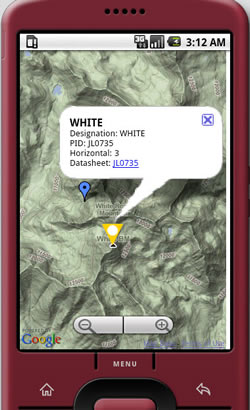
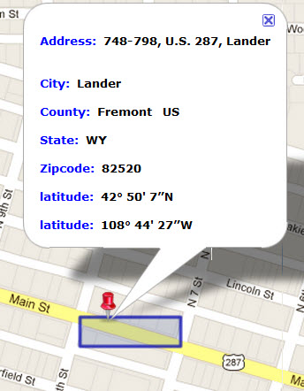
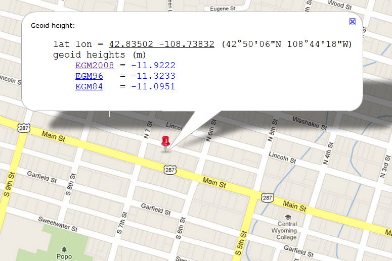
Point ID: Geoid Heights:
 |
 |